Mars: A Century of Exploration
Space Based Exploration, 1990 to Present
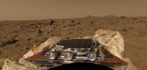 The Mars Pathfinder landed on Mars on the 4th of July, 1997. The
spacecraft consisted of two major parts: a lander equipped with cameras and
meteorological instruments,
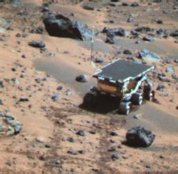 and a robotic rover which contained a number of
geologic instruments. The mission was primarily an engineering mission,
demonstrating technologies and concepts for eventual use in future missions
to Mars.
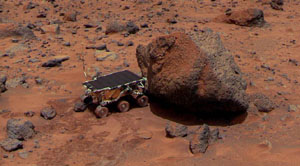 Pathfinder studied the atmosphere, weather and geology of Mars.
 Here we see the now famous Mars Pathfinder Panaroma
which shows rocks and boulders in the foreground and Martian hills in the
distance.
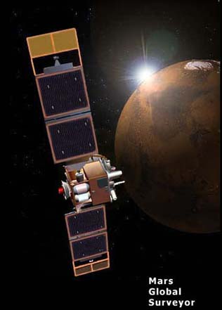 The primary mission of the Mars Global Surveyor was
to orbit Mars and study its atmosphere and climate
for a full Martian year (687 Earth days). Since the completion of the
mapping of the surface in January 2000, the spacecraft has been used in
attempts to relay data back to Earth from some of the less successful missions.
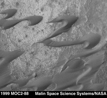 This Mars Global Surveyor image shows dark sand dunes in the
Nili Platera region of Syrtis Major. The shape of
the dunes indicate that wind has transported dark sand from the upper right
to the lower left. The area seen here is about 2.1 km wide.
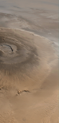 Olympus Mons, at a height of 25 km, is taller than 3 Mount Everests and
about as wide as the entire Hawaiian Island chain. This giant volcano is
almost flat with its flanks sloping at 2o to 5o. As
seen here, the
upper part of the volcano is rimmed with a band of whitish clouds.
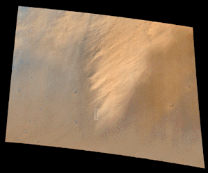 Here is a Mars Global Surveyor image of a 310 km by 290 km view of a well
developed dust storm covering
the landing site of Viking 1 at Chryse Planitia.
Go to
next section.


