Near Surface Geophysics
I am interested in solving problems and answering research questions using geophysics. I most often do this at archaeological sites, but also use geophysics in geology to understand sedimentary environments such as floodplains and limestone solution features (caves and fissures).
|
|
|
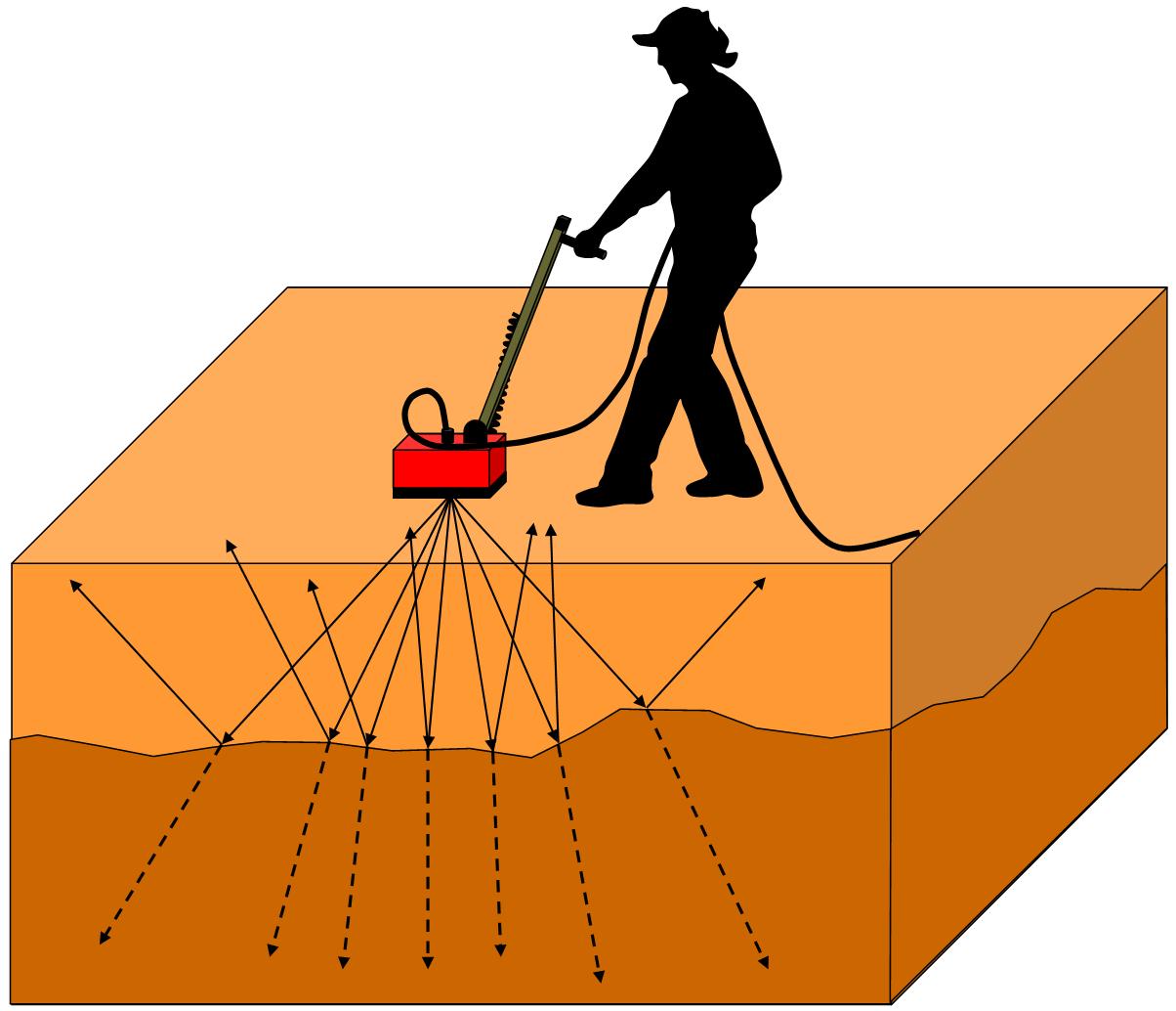
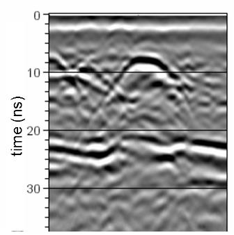
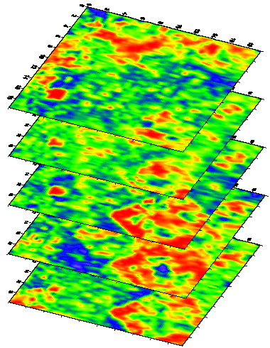
| GPR transmission into the ground. | GPR Reflection Profile. | GPR horizontal slices showing a pithouse floor (red). |
|
|
|
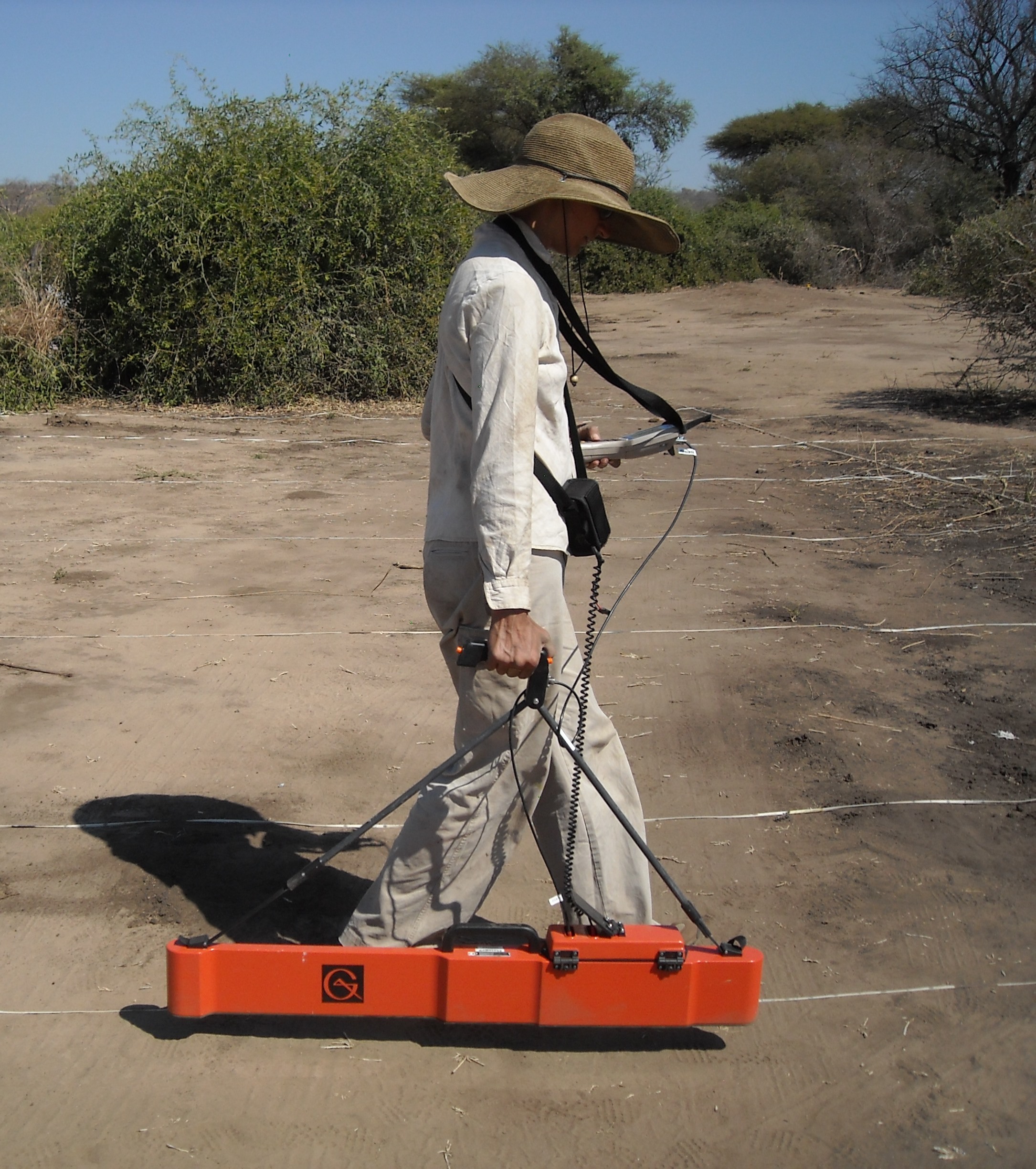
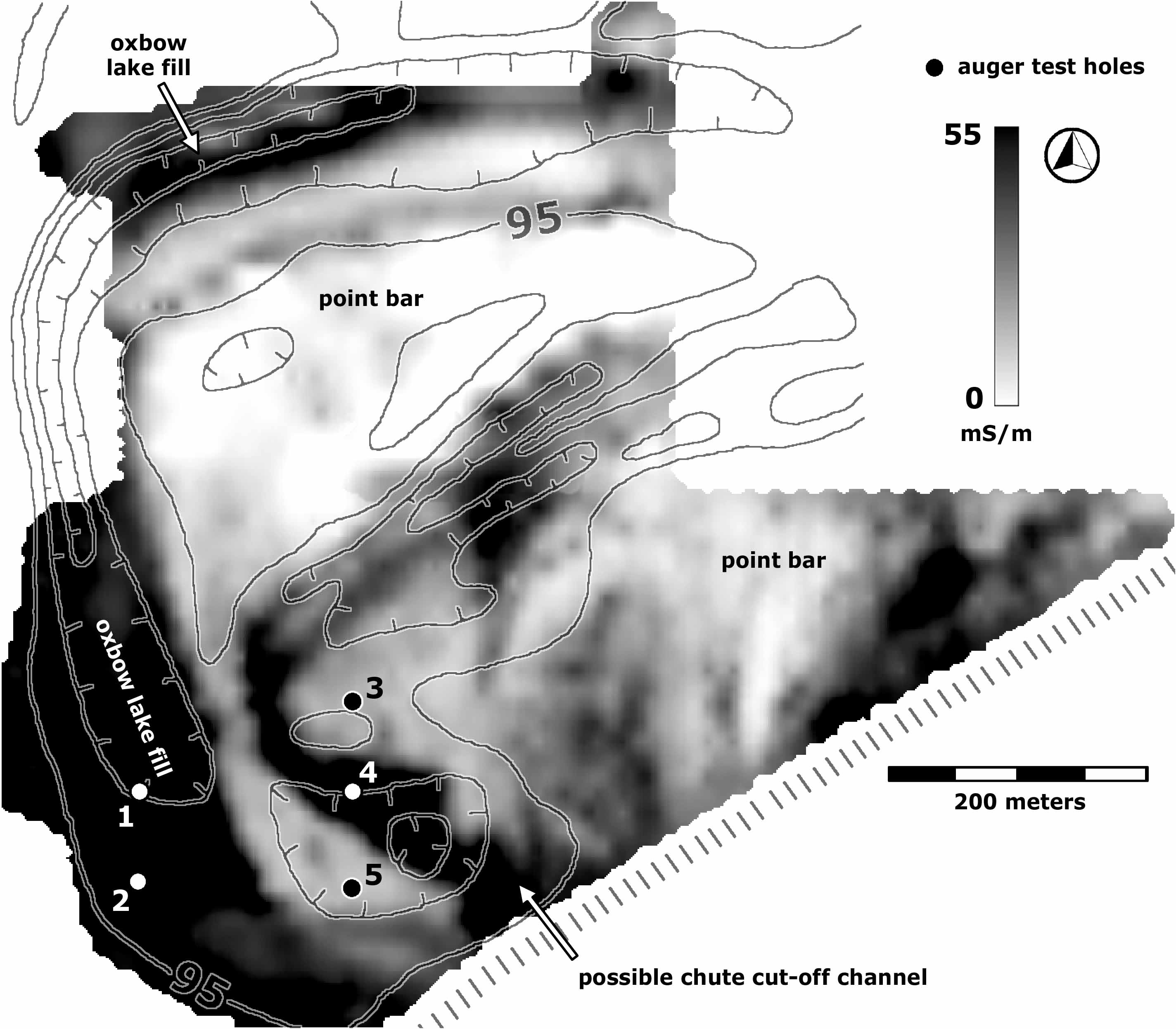
| Geonics EM38MKII EMI instrument. | Magnetic Susceptibility data showing pithouse patios at a site in New Mexico. | Conductivity data showing buried oxbow lake deposits along the Sacramento River, CA. |
Electromagnetic Induction (EMI) uses an electromagnetic (EM) field to induce secondary EM fields in the ground, and then measures the electrical component (conductivity) and the magnetic component (magnetic susceptibility). Conductivity measurements reveal subtle changes in ground moisture conditions, which are strongly related to sediment size (sand, silt, clay) and percent organic material. This works great for mapping sedimentary features such as oxbow lake deposits as well as archaeological features like trash middens. Magnetic susceptibility is a measure of the ability of something to become magnetized in the presence of a magnetic field, and is great for detecting very subtle variations soil properties, such as enhancement due to prolonged human occupation.
MAGNETOMETRY
|
|
|
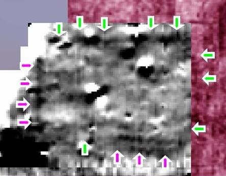
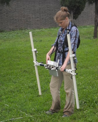
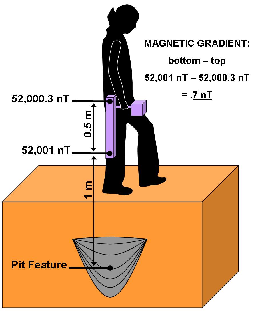
| Magnetometry showing a residential compound beneath the ground at Tiwanaku, Bolivia. | Bartington Grad 601-2 Magnetic Gradiometer. | Model showing how magnetic gradiometers measure magnetic fields. |
|
|
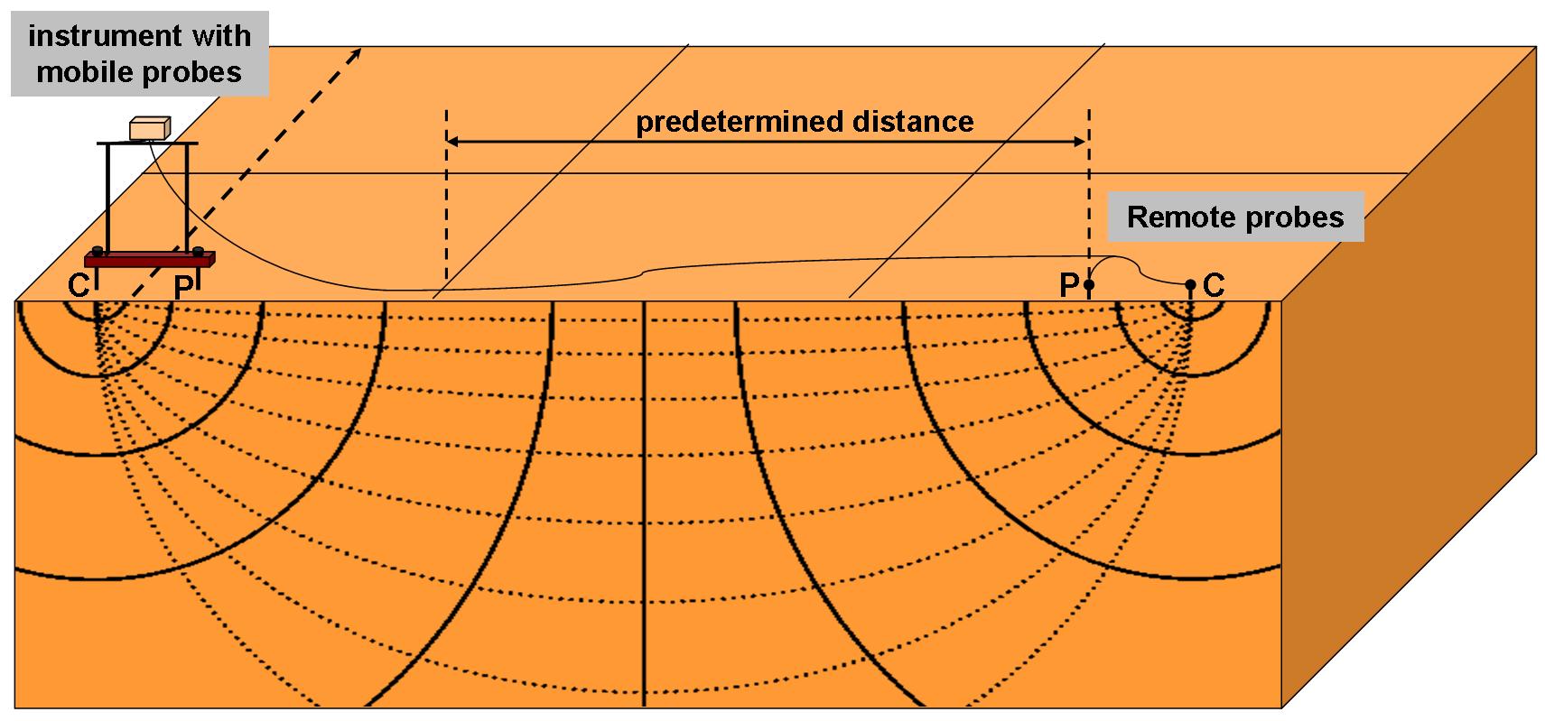
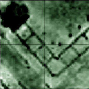
| Model showing how electrical resistivity works using a twin probe array. | Electrical resistivity data showing the foundation of the hippodrome at Army City, KS. |
Electrical Resistance sends weak electrical currents into the ground and measures how poorly this current is conducted. This method is very good for mapping archaeological features such as stone or brick wall foundations, and in geology is used to look at broad patterns in soil and rock types.